
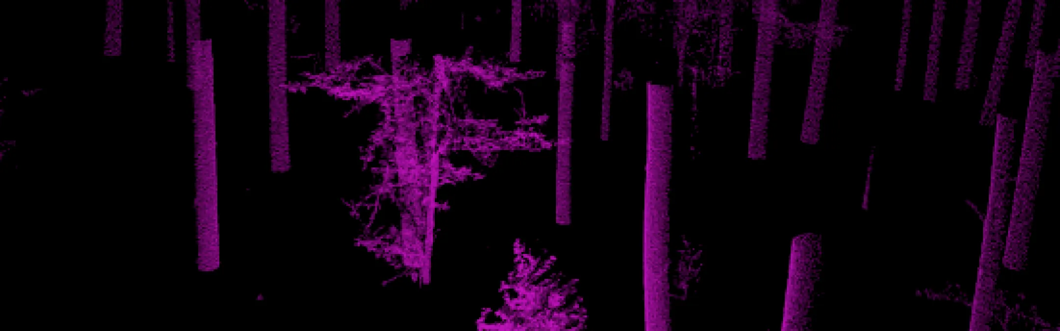
Remote sensing is a non-contact measurement method, where the information carrier is electromagnetic radiation, including visible light. A variety of devices are used, such as radars, lidars, multispectral cameras, spectrometers, and thermal radiation sensors. Measurement results, obtained as images or three-dimensional point clouds, are processed, and models are created to predict the structural characteristics of trees or, more generally, vegetation cover. Remote sensing data serve as an important foundational material in forest management.
Contacts

Mait Lang
Associate Professor in Remote Sensing
Institute of Forestry and Engineering
Chair of Forest Management Planning and Wood Processing Technologies
+372 7313147
+372 7313147
Tauri Arumäe
Junior Professor of of Forest remote sensing and geospatial data management (tenure track)
Institute of Forestry and Engineering
Chair of Forest Management Planning and Wood Processing Technologies
+372 7313147
+372 7313147
Allan Sims
Associate Professor of Forest Statistics and Forestry Modelling
Institute of Forestry and Engineering
Chair of Forest Management Planning and Wood Processing Technologies
Urmas Peterson
Senior Lecturer in Remote Sensing of Forests and Geographic Information Systems
Institute of Forestry and Engineering
Chair of Forest Management Planning and Wood Processing Technologies
+372 7313155
+372 7313155
Randel Rainer Lille
Junior Research Fellow in Forest Management and Remote Sensing
Institute of Forestry and Engineering
Chair of Forest Management Planning and Wood Processing Technologies
